Open accessScotland's right of responsible access applies
Earthworks onlybanks, ditches and platforms — read the ground, not walls
Save this place
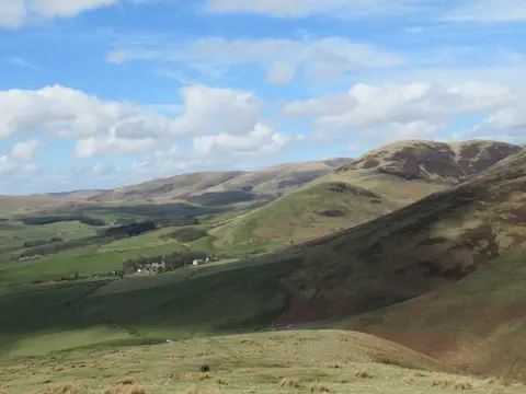
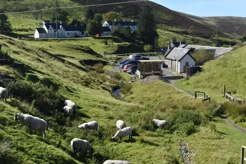
Durisdeer Roman fortlet preserves the earthworks of a former Roman fort in Dumfries and Galloway. It is one of seven Roman forts the Albion Guide charts in the county. The nearest other Roman fort is Carronbridge, Roman fortlet & enclosures, 7.8 km to the south-west. The closest station is Sanquhar, 13.2 km to the west.
Full name: Durisdeer, Roman fortlet between Dash Cleuch and Kirk Burn