Open accesson open access land, where the right to roam applies
Save this place
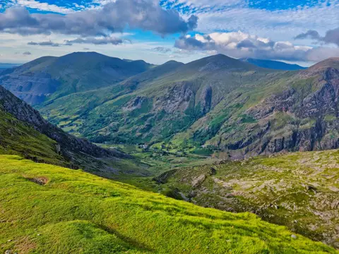
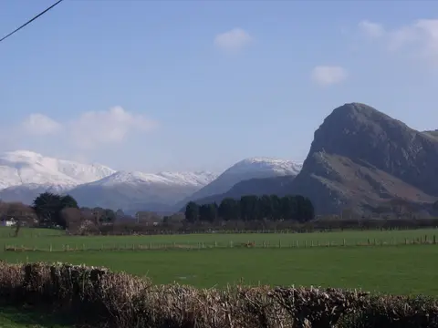
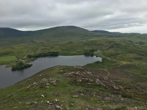
Tarrenhendre tops out at 634 m in Gwynedd. It is one of the 316 Hewitts, and a Nuttall besides. It stands inside Eryri National Park.
The closest station is Dovey Junction, 6.3 km to the south. For more of the same, Gamallt and Tarren y Gesail are close by.
More at hill-bagging.co.uk