Open accesson open access land, where the right to roam applies
Save this place
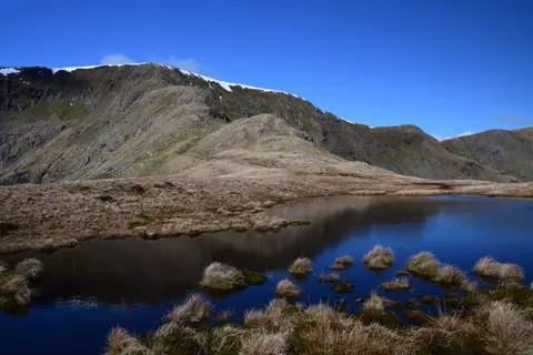
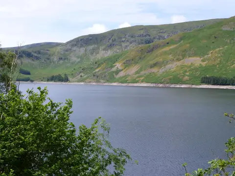
Harter Fell (Mardale) tops out at 779 m in Cumbria. It counts among the 214 Wainwrights, the Lake District fells of Alfred Wainwright's Pictorial Guides. It stands among the higher summits of Cumbria. The surrounding countryside is part of the Lake District National Park.
The closest station is Staveley, 11.3 km to the south. Mardale Ill Bell and Kentmere Pike are among the hills within 1.6 km.
More at hill-bagging.co.uk