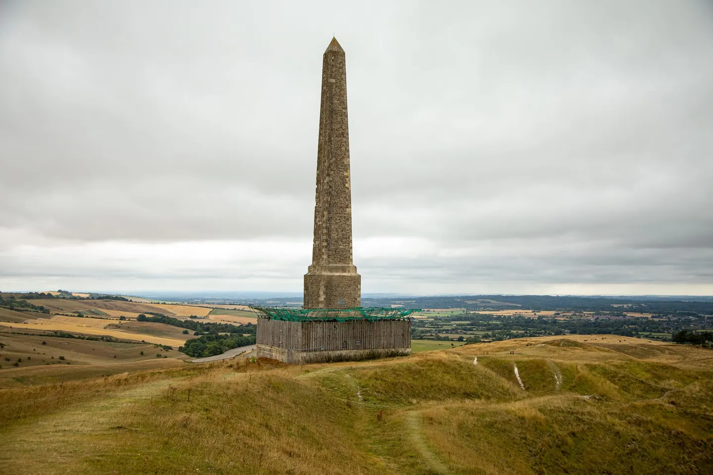
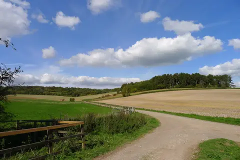
North Wessex DownsPhoto John Lubbock / Pexels
Places to explore near Hungerford StationHungerford
Hungerford Station sits inside the North Wessex Downs National Landscape. 44 places within 10 km — the standouts first, nearest first within each group.
Worth the tripnational icons and local highlights within reach
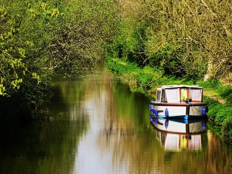
Also nearbygood places nearby, nearest first
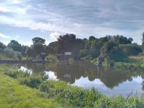
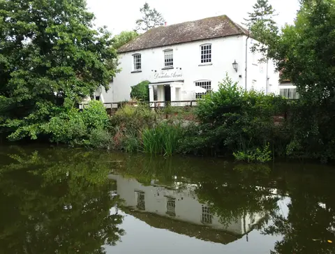
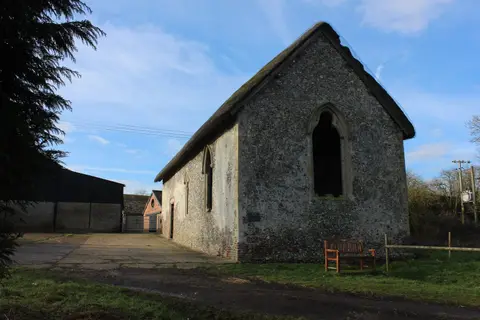
Everything else within 10 km (31) — reserves, earthworks & places to check before travelling
- River LambournRiver7.8 km NE
- Welford ParkGarden8.2 km NE
- Wilton WindmillWindmill9.6 km SW
- Kennet and Lambourn FloodplainSSSI0.3 km NE
- Freeman's MarshSSSI0.4 km NW
- Chilton Foliat MeadowsSSSIaccess unclear1.6 km NW
- Catmore and Winterly CopsesSSSIaccess unclear4.1 km SE
- Roman villa of LittlecoteRoman archaeological siteaccess unclear4.4 km NW
- KintburyVillage4.7 km E
- Inkpen HouseHouse & gardenaccess unclear5.1 km S
- Inkpen Crocus FieldsSSSIaccess unclear5.3 km SE
- Inkpen CommonSSSIaccess unclear5.8 km SE
- Irish Hill CopseSSSIaccess unclear6.2 km E
- Inkpen and Walbury HillsSSSI6.3 km S
- Ham Hill (Wiltshire)SSSIaccess unclear6.8 km S
- Westfield Farm Chalk BankSSSIaccess unclear7.4 km N
- Walbury HillMarilynaccess unclear7.7 km SE
- Hamstead Marshall PitSSSI7.7 km E
- Cleeve Hill (Berkshire)SSSIaccess unclear7.8 km N
- West Woodhay DownSSSI8.2 km SE
- Combe Wood and Linkenholt HangingSSSIaccess unclear8.3 km S
- White ShuteSSSIaccess unclear8.5 km N
- Easton Farm MeadowSSSIaccess unclear8.6 km NE
- Redhill WoodSSSIaccess unclear8.7 km SE
- EastburyVillage8.7 km N
- Boxford Water MeadowsSSSIaccess unclear9.1 km E
- Hog's HoleSSSIaccess unclear9.3 km SE
- Badgers, BoxfordHouse & garden9.4 km E
- Enborne CopseSSSIaccess unclear9.4 km E
- Botley DownSSSI9.6 km SW
- Boxford Chalk PitSSSIaccess unclear9.6 km E
Ordered by how far each place is worth travelling for, then by distance. Distances are straight-line to the nearest edge of each place — paths wind, of course.