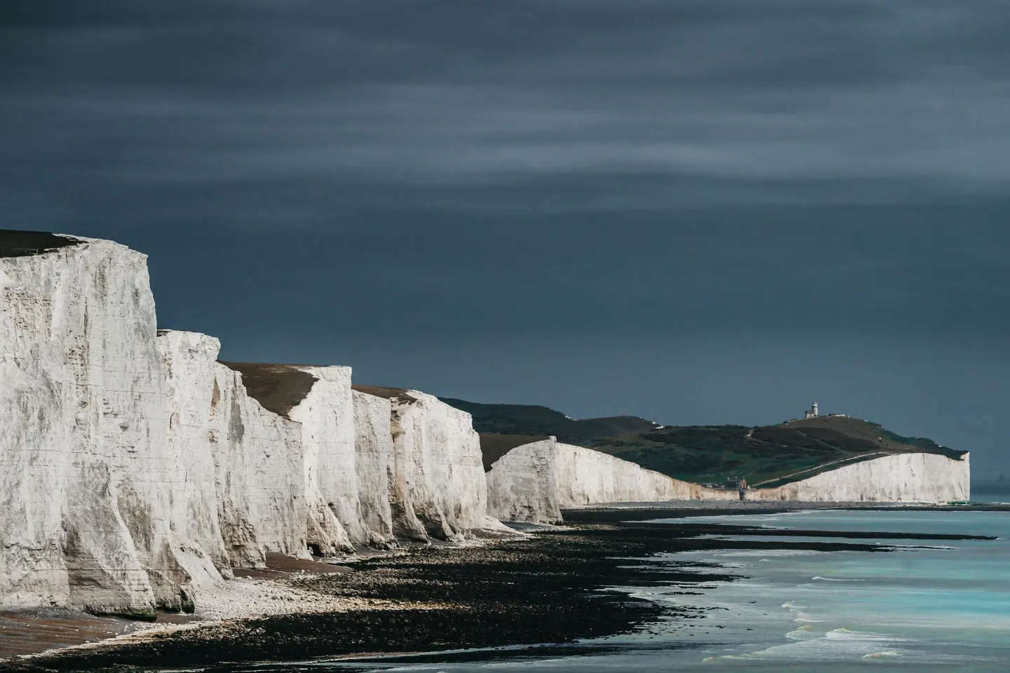
South DownsPhoto Andras Stefuca / Pexels
Places to explore near Bitterne StationBitterne
45 places within 10 km — the standouts first, nearest first within each group. 2 are national icons.
Worth the tripnational icons and local highlights within reach
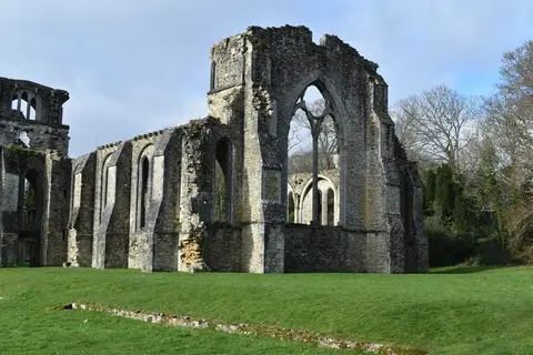
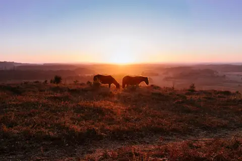
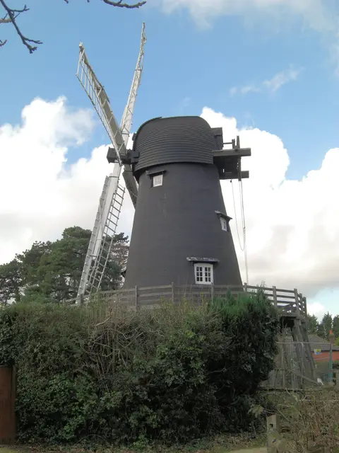
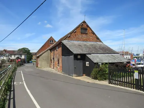
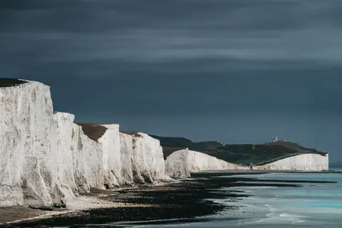
Also nearbygood places nearby, nearest first
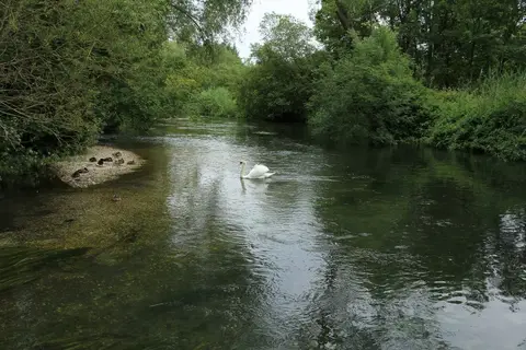
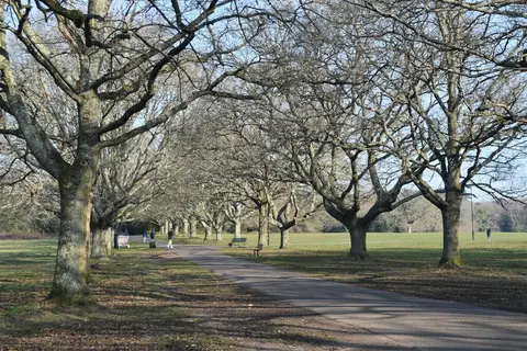

Everything else within 10 km (31) — reserves, earthworks & places to check before travelling
- Lakeside Country ParkCountry park4.1 km N
- River Hamble Country ParkCountry park5.5 km SE
- Royal Victoria Country ParkCountry park5.6 km S
- BursledonVillage5.9 km SE
- MarchwoodCountry estate6.4 km SW
- Test WayLong-distance path7.3 km W
- Hamble-le-RiceVillage7.5 km SE
- Holly Hill Woodland Park (Fareham)Country park7.9 km SE
- Hamble RiverCoastline8.2 km E
- Holbury Manor Ponds Country ParkCountry park9.6 km S
- Lee-on-the Solent to Itchen EstuarySSSI0.2 km S
- St Denys PrioryPrioryaccess unclear0.8 km N
- Southampton CommonSSSI2 km W
- Town wallCastleaccess unclear2.7 km SW
- Hickley Wood hillfortHillfortaccess unclear3.5 km E
- Bassett AvenueCounty topaccess unclear4 km NW
- Hythe to Calshot MarshesSSSIaccess unclear4 km SW
- Western aqueduct near Netley AbbeyAbbey4.1 km SE
- Moorgreen MeadowsSSSIaccess unclear4.2 km E
- Dibden BaySSSIaccess unclear4.3 km SW
- Netley CastleCastleaccess unclear4.7 km S
- Eling and Bury MarshesSSSIaccess unclear5.5 km W
- Upper Hamble Estuary and WoodsSSSI5.7 km SE
- Lincegrove and Hackett's MarshesSSSIaccess unclear6.4 km SE
- Lower Test ValleySSSIaccess unclear6.9 km W
- St Andrew's CastleCastleaccess unclear8.3 km SE
- Baddesley Common and Emer BogSSSI8.7 km NW
- Trodds CopseSSSIaccess unclear8.9 km N
- Botley WoodSSSI9.5 km E
- Fletchwood MeadowsSSSIaccess unclear9.8 km W
- Cranbury ParkHouse & gardenaccess unclear9.9 km N
Ordered by how far each place is worth travelling for, then by distance. Distances are straight-line to the nearest edge of each place — paths wind, of course.