Save this place
Approximate location — this spot is pinned to the nearest village, so the exact point may be a little way off.
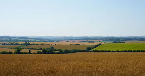
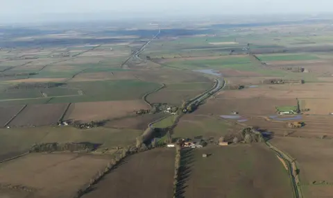
The Lincolnshire Wolds reach their highest ground here — around 168m at Normanby Top, just north of the village, the highest point in eastern England between Kent and the Yorkshire Wolds. From the lane the land falls away westward over the vale of the Ancholme, and the Viking Way long-distance path runs close by. Market Rasen station is about 6km to the south.