Open accesson open access land, where the right to roam applies
Save this place
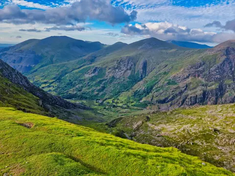
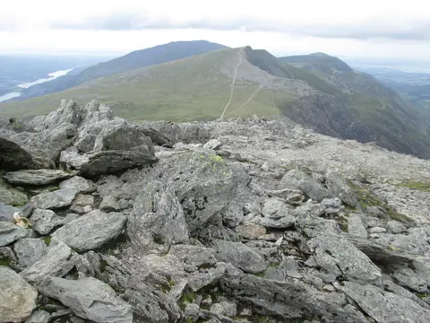
Mynydd Perfedd is a 813-metre mountain in Gwynedd. It is listed among the 442 Nuttalls — English and Welsh tops over 2,000 feet with at least 15 m of drop. It is one of 125 hills the Albion Guide maps in Gwynedd. The surrounding countryside is part of Eryri National Park.
Nearby hills include Foel-goch and Carnedd y Filiast (Gwynedd). The nearest railway station is Bangor (Gwynedd), 10.8 km to the north-west.
More at hill-bagging.co.uk