Open accesson open access land, where the right to roam applies
Save this place
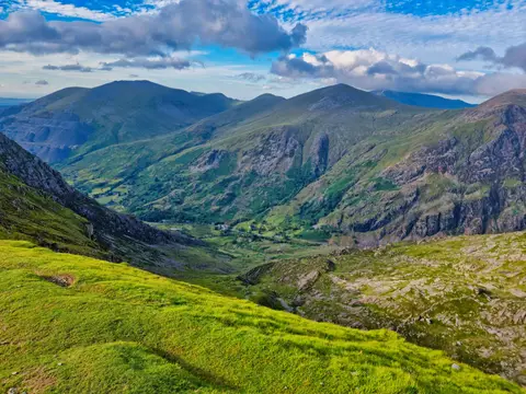
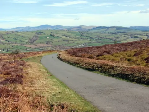
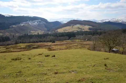
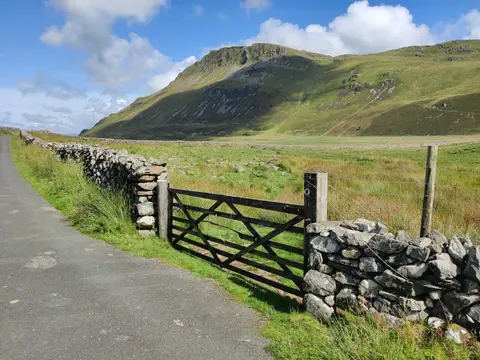
Arenig Fawr South Ridge Top is a 714-metre mountain in Gwynedd. It is listed among the 442 Nuttalls — English and Welsh tops over 2,000 feet with at least 15 m of drop. The surrounding countryside is part of Eryri National Park.
The nearest railway station is Blaenau Ffestiniog, 16.1 km to the north-west. For more of the same, Arenig Fawr South Top and Arenig Fawr are close by.
More at hill-bagging.co.uk