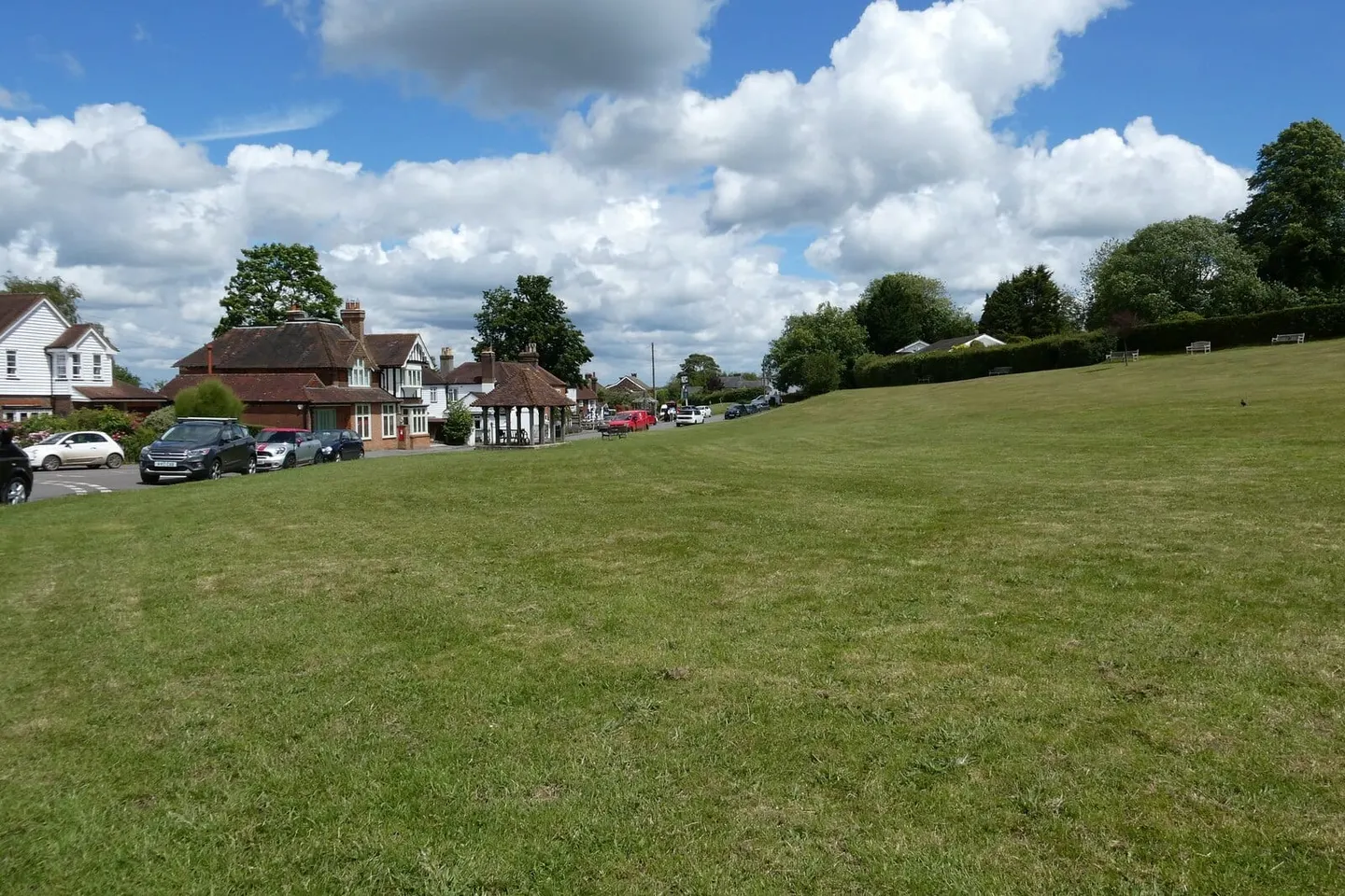
Places to explore near Otford StationOtford
Otford Station sits inside the Kent Downs National Landscape. 49 places within 10 km — the standouts first, nearest first within each group.
Worth the tripnational icons and local highlights within reach
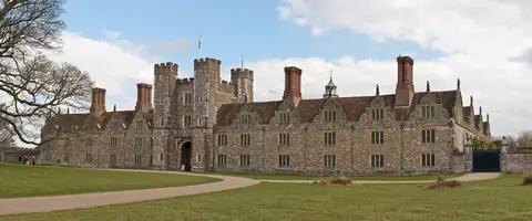
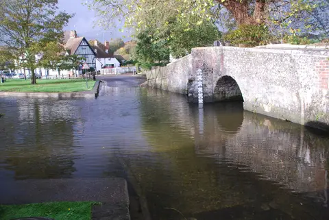
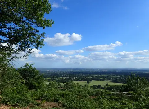
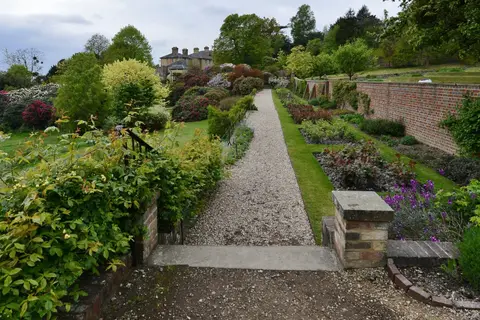
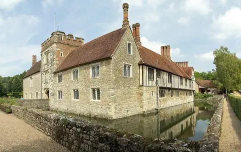
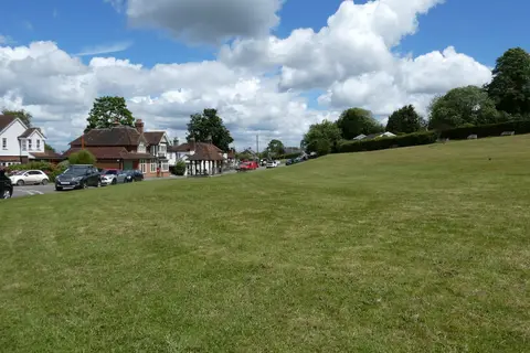
Also nearbygood places nearby, nearest first
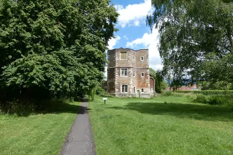
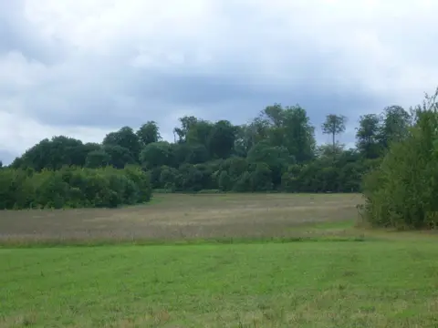
Everything else within 10 km (31) — reserves, earthworks & places to check before travelling
- IghthamVillage7.1 km SE
- Emmetts GardenHouse & garden8.7 km SW
- High Elms Country ParkCountry park8.7 km NW
- Squerryes WineryVineyard8.7 km SW
- London LOOPLong-distance path9.5 km NW
- WealdwayLong-distance path9.5 km E
- Quebec HouseHouse & garden9.8 km SW
- Otford to Shoreham DownsSSSI0.4 km NE
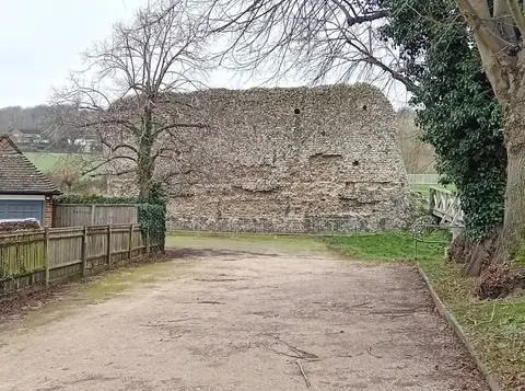
- Otford Roman villaRoman archaeological siteaccess unclear0.5 km SE
- Greatness BrickworksSSSIaccess unclear1.5 km S
- Magpie BottomSSSI1.7 km NE
- Sevenoaks Gravel PitsSSSIaccess unclear2 km S
- Knole ParkSSSI4.1 km S
- Lullingstone ParkSSSI4.5 km N
- Lullingstone CastleCastleaccess unclear5 km N
- DryhillSSSIaccess unclear5 km SW
- Lullingstone Roman villaRoman archaeological siteaccess unclear5.7 km N
- Oldbury hillfortHillfortaccess unclear5.8 km SE
- One Tree Hill and Bitchet CommonSSSI6.2 km SE
- The Japanese Garden, Bitchet WoodHouse & gardenaccess unclear6.3 km SE
- Combe BankHouse & gardenaccess unclear6.5 km SW
- Hubbard's HillSSSIaccess unclear7 km S
- Scords Wood and Brockhoult MountSSSIaccess unclear7.9 km S
- Bourne Alder CarrSSSIaccess unclear8.2 km SE
- Farningham WoodSSSIaccess unclear8.3 km N
- Halling to Trottiscliffe EscarpmentSSSI8.4 km E
- North Kent Woods and DownsNational Nature Reserve8.6 km E
- Long BarnHouse & gardenaccess unclear8.9 km S
- Westerham WoodSSSIaccess unclear9.6 km SW
- Westerham MinesSSSI9.8 km SW
- Westerham HeightsCounty topaccess unclear10 km W
Ordered by how far each place is worth travelling for, then by distance. Distances are straight-line to the nearest edge of each place — paths wind, of course.