Upper Plym Valley
Around 300 sites, Bronze Age stone rows to medieval tin workings, scattered across open moor above the River Plym
Open accessfree to visit at any reasonable time
Standing remainssubstantial fabric survives to stand in front of
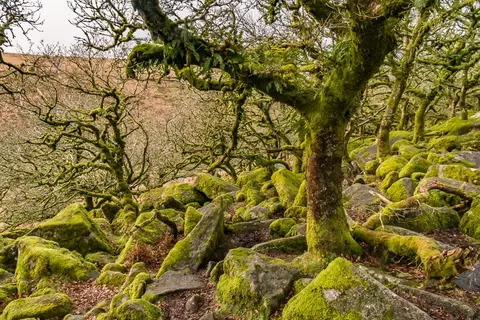
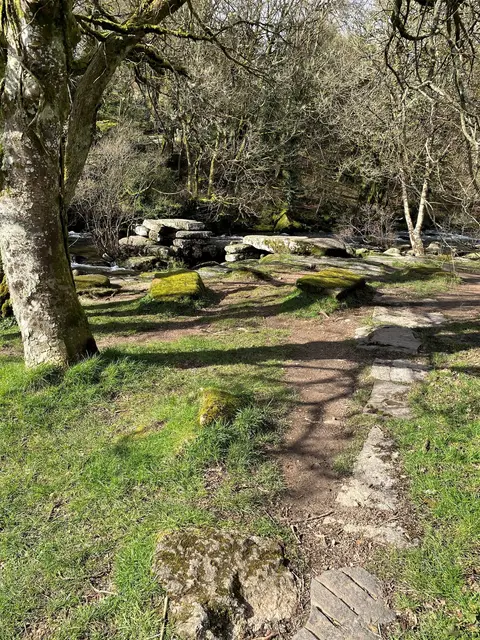
Bronze Age roundhouse settlements and long boundary banks called reaves survive at Trowlesworthy, Willings Walls and Hentor, spread across the open moor above the River Plym between its source and the china clay quarries near Lee Moor. Two Neolithic stone rows sit on a gentler slope nearby, one of them ending in a small ring of standing stones. Medieval farmers moved back onto the moor from the 1200s onward; Trowlesworthy farm, founded in 1272, is the only one still worked today, and most of the rest were later turned into rabbit warrens. Ridges of waste gravel along the riverbank are the leftovers of tin streaming, a centuries-old way of washing tin ore out of streambed gravel, with the ruins of a blowing house, where the ore was smelted, further up the valley. It’s remote, exposed open moor with no marked route between the sites, so come with a map and expect uneven going underfoot.