Areas
Routes
Natural spots
Historic places
Villages & landmarks
Near you
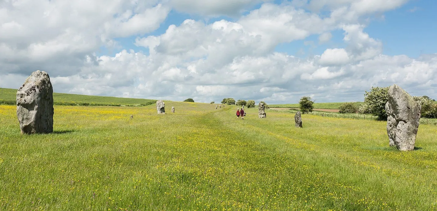
West Kennet Avenue© Diliff / Wikimedia Commons · CC BY-SA 3.0
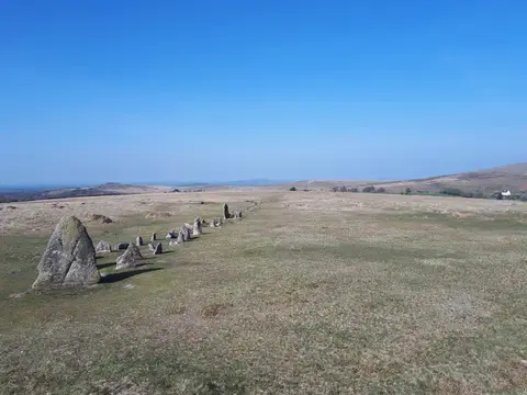
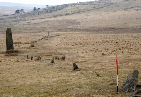
Prehistoric alignments of standing stones striding across moorland. 47 on the map.
Askham Fell stone alignment
Askham
Broomrigg A: large irregular stone circle and associated stone alignment in Broomrigg Plantation, 820m south east of Street House
Armathwaite
Shap Stone Alignment
Morland
Almsworthy Common: a stone alignment 560m south west of Chetsford Bridge
Somerset
Beckham stone alignment and mound, 450m south east of the Long Combe sheep pen
Butterdon Hill stone alignment and cairn
Devon
Chains Valley stone alignment 400m north west of Exe Head
Craddock Moor stone alignment, centred 550m north-east of Sparretts Farm
Cornwall
Double stone alignment with a large cairn south-west of Penn Beacon
Double stone alignment with a terminal stone setting south of Great Trowlesworthy Tor
Double stone alignment on Isley Marsh 535m north of Lower Yelland Farm
A prehistoric stone row in Devon.
East Pinford: a stone alignment on the west side of East Pinford 700m west of Long Combe sheep pen
Exe Plain stone alignment 425m north east of the sheepfold
A stone circle, known as Fernworthy Circle, three stone alignments and five cairns 425m and 525m north west of Sandeman Bridge
Furzehill Common 2: a stone alignment 850m north west of Hoaroak Farm
Furzehill Common 3: a stone alignment and associated cairn 585m north west of Hoaroak
Lanacombe 5: a stone alignment on the south east side of Lanacombe
Leskernick stone alignment
Bronze Age hut circles beside double stone rows, a small stone circle and a tall standing stone on the open moor west of Princetown.
Multiple stone alignment and associated cairns west of Glasscombe Upper Plantation
The Nine Maidens stone alignment, The Fiddler standing stone and two Bronze Age round barrows
Porlock Allotment 1: a stone alignment 450m SSE of Black Barrow
Porlock Allotment stone alignment and cairn, 450m west of Porlock stone circle
Spurrell's Cross stone alignment and cairn
Stall Moor circle and long stone row
Two stone circles and two stone avenues at Stanton Drew, east of Court Farm
Stone alignment, two round cairns and a length of Walkhampton Common reave lying in a valley between Sharpitor and Leeden Tor
Stone alignment, hut circle settlement, medieval long house and post-medieval farmstead at Assycombe
Three stone alignments, 15 cairns, a cist, a partially enclosed stone hut circle settlement and a small clapper bridge at Drizzle Combe
Stone alignment and retaining kerb on Burford Down
Stone alignment, cairns, enclosed prehistoric settlement and a length of reave on Hurston Ridge
Stone alignment and round cairn on Langstone Moor
Three stone alignments, ten cairns, three stone hut circles and a length of the Great Western Reave on Longash Common
Stone alignment and terminal cairn with a retaining kerb on Ringmoor Down
Stone alignment and cairns on Stalldown
Triple stone alignment and cairn 780m east of Cawsand Beacon
Wide stretch of open Dartmoor above the River Plym holding around 300 sites, from Bronze Age stone rows and cairns to medieval tinners' works.
Neolithic avenue of paired standing stones winding south from Avebury towards The Sanctuary, its northern stretch re-erected in the 1930s.
Wiltshire
Wilmersham Common West: a stone row 120m south east of the confluence of Chetsford and Embercombe waters
Yar Tor stone row and adjacent cist
Yellowmead stone circles, cairn and stone alignment
Stone alignment 350m east of Newgate Foot
North Yorkshire
Stone circle and stone alignment 370m west of Threestoneburn House
Northumberland
Stone alignment west of Boroughbridge known as the Devil's Arrows, including three standing stones and the setting for a fourth