Open accesson open access land, where the right to roam applies
Earthworks onlybanks, ditches and platforms — read the ground, not walls
Save this place
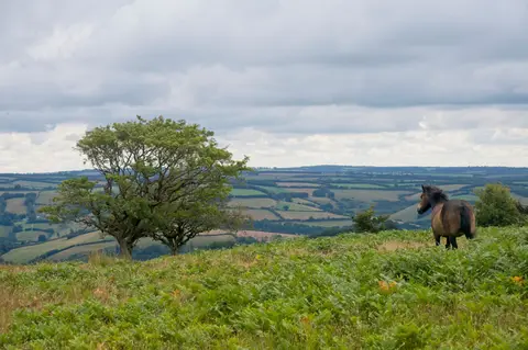
Trendle Ring is one of 29 hillforts the Albion Guide charts in Somerset. The surrounding countryside is part of the Quantock Hills National Landscape. For more of the same, Dowsborough hillfort and Plainsfield Camp are close by. The nearest railway station is Bishop's Lydeard, 11.3 km to the south-east.
More at the National Heritage List entry