Open accesson open access land, where the right to roam applies
Earthworks onlybanks, ditches and platforms — read the ground, not walls
Save this place
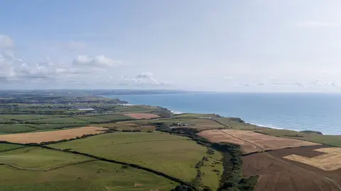
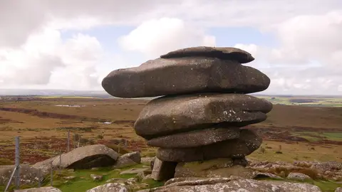
Stowe's Pound is one of 21 hillforts the Albion Guide maps in Cornwall. The surrounding countryside is part of Cornwall National Landscape National Landscape. For arrivals by rail, Liskeard Station is 8.9 km to the south. Hurlers and Craddock Moor stone are among the ancient sites within 1.8 km.
Full name: Earlier Prehistoric hillfort, two cairns, medieval pound and adjacent Prehistoric field systems, hut circles and transhumance huts on Stowe's Hill
More at the National Heritage List entry