Stac Pollaidh
National iconA small, spiky sandstone hill in Coigach with views out of all proportion to its height, and a summit crest that needs a proper scramble
Open accessScotland's right of responsible access applies
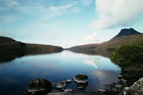
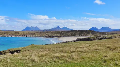
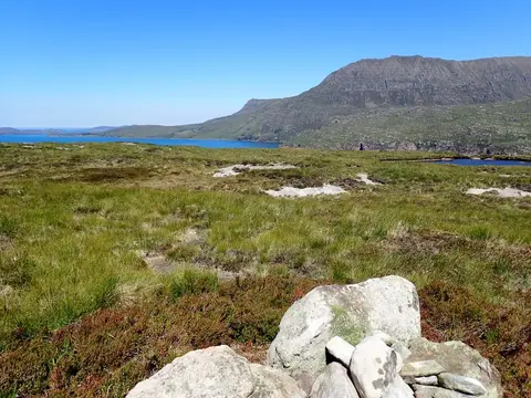
Stac Pollaidh is only 612m, which by Highland standards is nothing, but it’s one of the most recognisable hills in the north-west. It rises as a short, steep ridge of weathered Torridonian sandstone standing on a plinth of much older rock, its crest broken into pinnacles and gullies, with the empty lochs and hills of Coigach and Assynt spread out all around. For the size of the walk, the views are hard to beat.
The usual route is a loop from the car park on the road beside Loch Lurgainn, on a well-made path that the John Muir Trust rebuilt after the old direct line wore the hillside badly. It climbs steadily to the ridge and then contours round, and for most people that circuit is the walk — a couple of hours of steep but simple going. The actual summit is a different matter: reaching the true top means an exposed scramble along and up the rocky crest, with a tricky final step that stops a lot of walkers, and there’s no shame in turning round at the col below it. Only take on the summit if you’re confident on steep rock and it’s dry.
The fishing villages of Achiltibuie to the west and Lochinver to the north are the nearest places for supplies, and the geology centre at Knockan Crag a few miles east is worth a look while you’re in the area.
More at hill-bagging.co.uk