Open accesson open access land, where the right to roam applies
Save this place
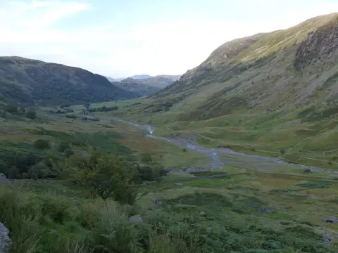
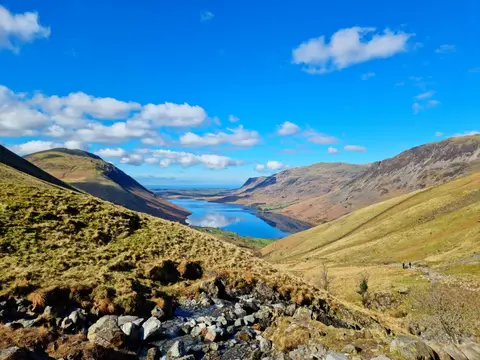
Round How is a 741-metre mountain in Cumbria. It is listed among the 442 Nuttalls — English and Welsh tops over 2,000 feet with at least 15 m of drop. It is one of 436 hills the Albion Guide maps in Cumbria. It stands within the Lake District National Park.
Other hills nearby include Middleboot Knotts and Broad Crag. The closest station is Ravenglass, 17.6 km to the south-west.
More at hill-bagging.co.uk