Access unclearno public right of way confirmed — check locally before setting out
Save this place
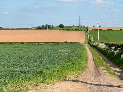
Newtonwood Lane is a 205-metre hill in Derbyshire. It is the highest point of Nottinghamshire. The nearest railway station is Alfreton, 5.6 km to the south-west.
More at hill-bagging.co.uk