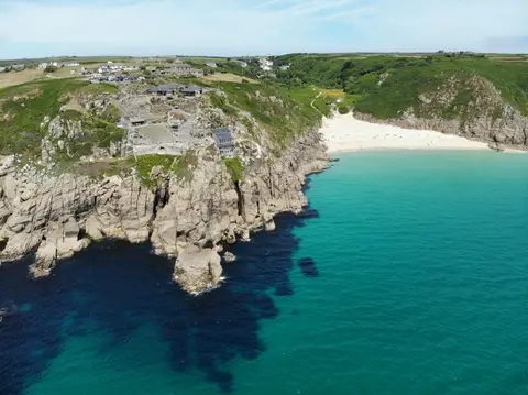
Access unclearno public right of way confirmed — check locally before setting out
Earthworks onlybanks, ditches and platforms — read the ground, not walls
Save this place
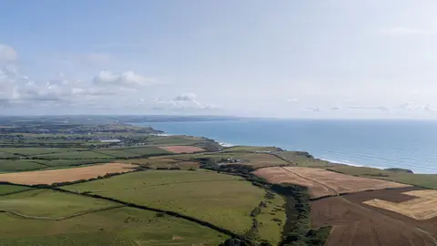
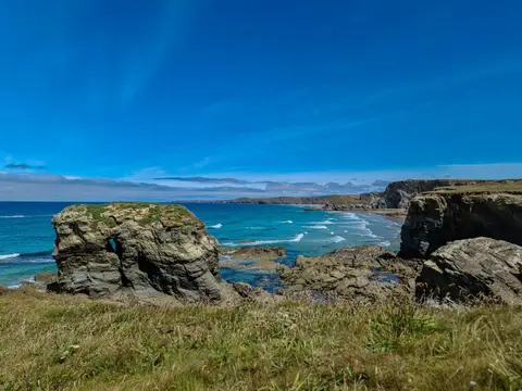
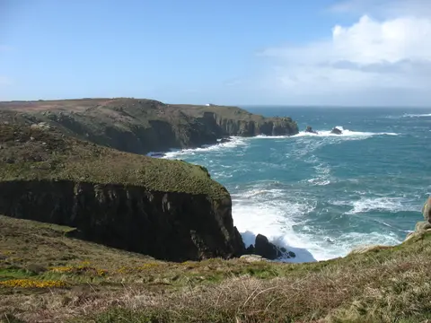
Carn Les Boel Fort is one of 17 promontory forts the Albion Guide maps in Cornwall. The surrounding countryside is part of Cornwall National Landscape National Landscape. For more of the same, Maen Castle and Treryn Dinas are close by. The closest station is Penzance, 14 km to the north-east.
More at the National Heritage List entry