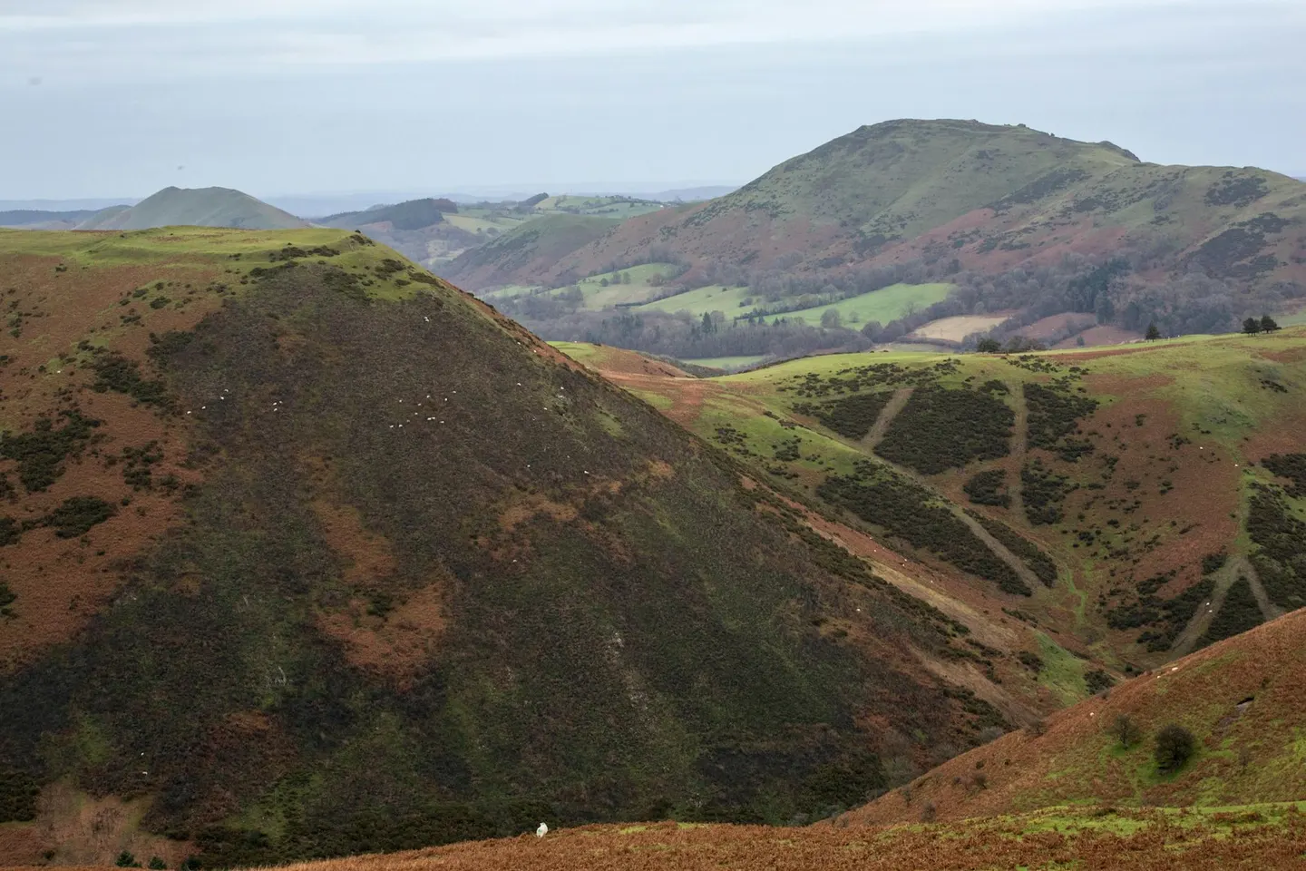
Long MyndPhoto Daniel Sturley / Unsplash
Places to explore near Broome StationBroome
57 places within 10 km — the standouts first, nearest first within each group. 2 are national icons.
Worth the tripnational icons and local highlights within reach
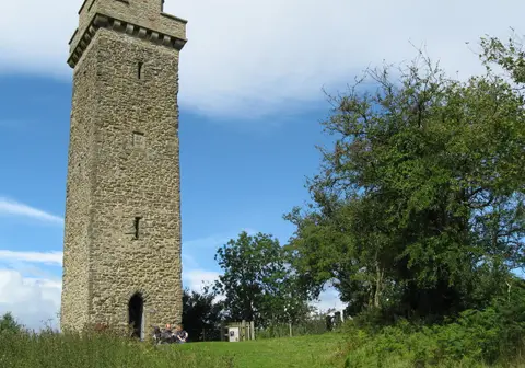
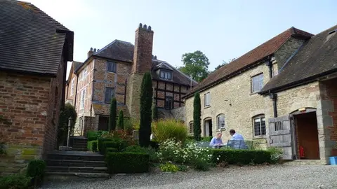
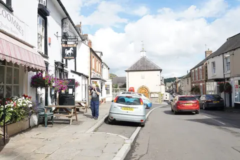
Also nearbygood places nearby, nearest first
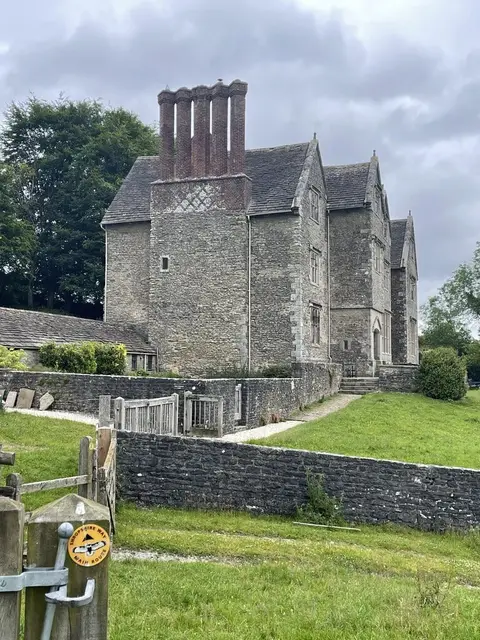
Everything else within 10 km (43) — reserves, earthworks & places to check before travelling
- Coston Farm QuarriesSSSIaccess unclear1 km SW
- Clungunford motteEarthworks of a former castleaccess unclear2.1 km S
- View EdgeMarilynaccess unclear2.4 km E
- View Edge QuarriesSSSIaccess unclear2.6 km E
- BurrowMarilynaccess unclear2.8 km NW
- Hopton CastleCastleaccess unclear4.4 km SW
- Broadward Hall motteEarthworks of a former castleaccess unclear4.4 km S
- Cheney Longville ringworkEarthworks of a former castleaccess unclear4.5 km NE
- Warfield Bank ringworkEarthworks of a former castleaccess unclear4.5 km SW
- Norton Camp (Shropshire)Hillfortaccess unclear4.9 km E
- Onny River SectionSSSIaccess unclear5.1 km NE
- Clunton CoppiceSSSIaccess unclear5.2 km W
- Mocktree QuarriesSSSIaccess unclear5.7 km S
- Flat CoppiceSSSIaccess unclear5.8 km N
- Plowden Mill ringworkEarthworks of a former castleaccess unclear6.3 km N
- Jay Lane Roman fortRoman archaeological siteaccess unclear6.4 km S
- Hillend QuarrySSSI6.6 km N
- Church Hill QuarrySSSIaccess unclear7.2 km S
- Lower Down CastleEarthworks of a former castleaccess unclear7.3 km NW
- Callow HillMarilyn7.4 km NE
- Billings RingHillfortaccess unclear7.6 km NW
- Buckton Roman fortRoman archaeological siteaccess unclear7.6 km S
- Downton GorgeNational Nature Reserve7.7 km SE
- Bury DitchesHillfort7.7 km W
- Motte castle at Upper BucktonEarthworks of a former castleaccess unclear7.8 km S
- Downton motteEarthworks of a former castleaccess unclear7.9 km S
- Wolverton Wood and Alcaston CoppiceSSSI8 km NE
- Downton CastleHouse & gardenaccess unclear8.5 km SE
- Brandon CampHillfortaccess unclear8.5 km S
- Walford Bridge motteEarthworks of a former castleaccess unclear8.5 km S
- Recumbent standing stoneStanding stoneaccess unclear8.8 km W
- Brampton Bryan castleCastleaccess unclear8.8 km S
- Burrington Farm Stream SectionSSSIaccess unclear9 km SE
- Brampton Bryan ParkSSSIaccess unclear9.1 km SW
- Burrington SectionsSSSIaccess unclear9.2 km S
- Prince's RoughSSSIaccess unclear9.2 km NE
- Marsh Wood QuarrySSSIaccess unclear9.3 km NE
- Mortimer ForestSSSI9.4 km SE
- Lower Lea tower keepCastleaccess unclear9.6 km NW
- Oakly ParkHouse & gardenaccess unclear9.7 km SE
- Wigmore AbbeyAbbeyaccess unclear9.7 km S
- Camp RingEarthworks of a former castleaccess unclear9.8 km E
- St Peter's Church, Stanton LacyChurch9.8 km E
Ordered by how far each place is worth travelling for, then by distance. Distances are straight-line to the nearest edge of each place — paths wind, of course.