Open accessScotland's right of responsible access applies
Save this place
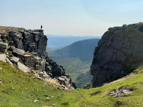
Tap o' Noth rises to 564 m (1,850 ft) in Aberdeenshire. It is listed among the 1,546 Marilyns — British hills with at least 150 m of drop on every side. It is one of 62 hills the Albion Guide maps in Aberdeenshire.
Other hills nearby include The Buck, Lord Arthur's Hill and Hill of Foudland. The nearest railway station is Huntly, 11.5 km to the north-east.
More at hill-bagging.co.uk