Open accessScotland's right of responsible access applies
Save this place
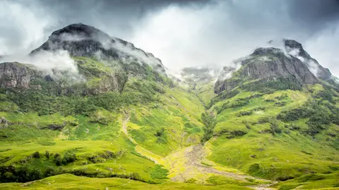
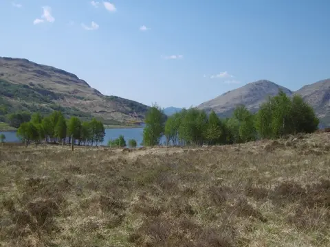
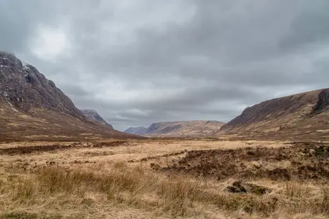
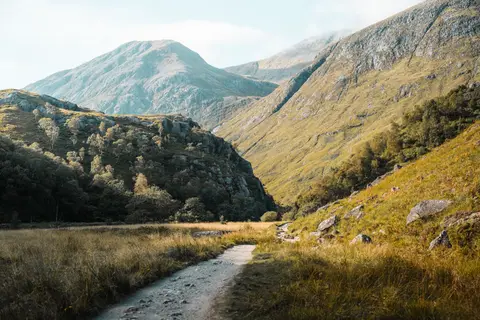
Beinn nan Lus tops out at 709 m in Argyll and Bute. It is one of the 231 Grahams, and a Marilyn besides. It is one of 162 hills the Albion Guide maps in Argyll and Bute. It stands within Ben Nevis and Glen Coe National Scenic Area.
Other hills nearby include Beinn nan Aighenan and Meall Garbh (Argyll and Bute). The nearest railway station is Loch Awe, 10.1 km to the south.
More at hill-bagging.co.uk