Open accessScotland's right of responsible access applies
Save this place
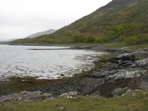
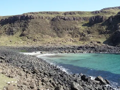
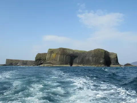
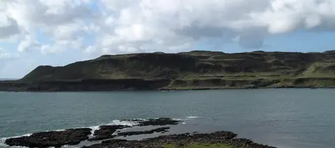
Beinn Chreagach (Argyll and Bute, 313m) tops out at 313 m in Argyll and Bute. It is listed among the 1,546 Marilyns — British hills with at least 150 m of drop on every side. The surrounding countryside is part of Loch na Keal, Isle of Mull National Scenic Area. Nearby hills include Beinn na Drise and Tom nam Fitheach.
More at hill-bagging.co.uk