Open accessScotland's right of responsible access applies
Save this place
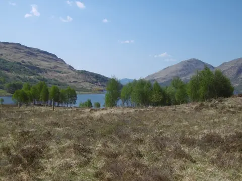
Beinn a' Chuirn (Argyll and Bute) tops out at 569 m in Argyll and Bute. It is listed among the 1,546 Marilyns — British hills with at least 150 m of drop on every side. It is one of 162 hills the Albion Guide charts in Argyll and Bute. It stands inside Ben Nevis and Glen Coe National Scenic Area.
Beinn Mhic Mhonaidh and Beinn Suidhe are among the hills within 2.8 km. Bridge of Orchy Station is 8.6 km away to the east.
More at hill-bagging.co.uk