Nine miles across the neck of Kintyre, a sea-to-sea shortcut from Loch Fyne to the Sound of Jura
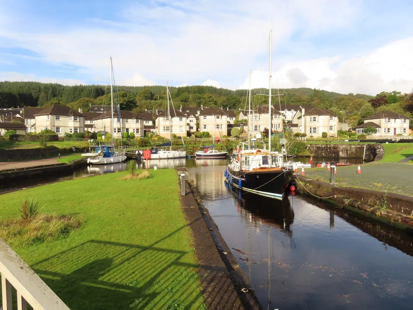
The Crinan Canal is a short sea canal, nine miles (14 km) long, cutting across the narrow neck of the Kintyre peninsula in Argyll and Bute. It runs from Ardrishaig on Loch Fyne to Crinan on the Sound of Jura, climbing through fifteen locks to a summit at Cairnbaan and dropping again to the sea. Its purpose is simple: it lets boats reach the west coast and the Hebrides without the long and often dangerous passage round the Mull of Kintyre. Yachts and fishing boats still use it, and the towpath makes an easy walk or cycle from end to end in a day.
The canal was proposed in the late 18th century to open a trade route between the Clyde and the western sea lochs. John Rennie was the engineer, and work began in 1794, but the ground gave trouble throughout. It opened in 1801, two years late, over budget and unfinished; after flood damage and further work it was fully opened in 1809, and Thomas Telford carried out major repairs by 1817.
Today the canal is run by Scottish Canals and kept largely as it was, with sea locks at each end and a hand-operated feel that draws walkers as much as boat crews. It lies close to Lochgilphead, the main town of mid-Argyll, and looks out towards Jura across the sound at its western end. It has long carried the tag of Britain’s most beautiful shortcut, and for a canal barely long enough to fill a day the setting earns it.