Open accessScotland's right of responsible access applies
Save this place
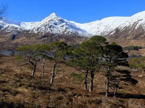
Sgurr Mhurlagain tops out at 880 m in Highland. It is one of the 222 Corbetts — Scottish hills between 2,500 and 3,000 feet. It is one of 630 hills the Albion Guide maps in Highland.
The closest station is Locheilside, 15.9 km to the south. Fraoch Bheinn and Sgurr an Fhuarain are among the hills within 4.3 km.
More at hill-bagging.co.uk