
Nature reserves in KentKent, England
123 nature reserves in the Albion Guide across Kent — see the full nature reserves directory, or everything to explore in Kent.
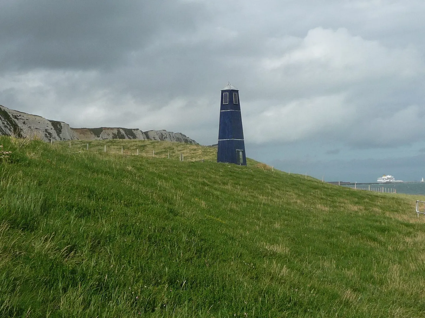
- Samphire Hoe Country Park0.32 km²
- Barton's Point Country Park0.36 km²
- Beacon Wood Country Park0.28 km²
- Brockhill Country Park0.23 km²
- Capstone Farm Country Park0.85 km²
- Church Marshes Country Park0.54 km²
- Darenth Country Park0.33 km²
- East Cliff and Warren Country Park0.93 km²
- Fowlmead Country Park0.95 km²
- Haysden Country Park0.65 km²
- Jeskyns Country Park1.5 km²
- Leybourne Lakes Country Park0.9 km²
- Leysdown Coastal Country Park0.29 km²
- Lullingstone & Preston Hill Country Park2.9 km²
- Pegwell Bay Country Park0.29 km²
- Ranscombe Farm Country Park3 km²
- Riverside Country Park0.31 km²
- Shorne Wood Country Park1.3 km²
- Trosley Country Park0.52 km²
- White Horse Wood Country Park0.29 km²
- High Rocks0.03 km²
- Carner Country Park0.18 km²
- Cobham Woods2.4 km²
- Lower Leas Coastal Country Park0.11 km²
- Oldbury and Seal Chart2.1 km²
- Peene Quarry Country Park0.05 km²
- Teston Bridge Country Park0.12 km²
- Elmley12 km²
- The Swale2.2 km²
- Eastcourt Meadows Country Park0.32 km²
- Manor Park0.21 km²
- Swanscombe Heritage Park0.28 km²
- Dungeness, Romney Marsh and Rye Bay102 km²
- Medway Estuary and Marshes47 km²
- South Thames Estuary and Marshes53 km²
- Alkham, Lydden and Swingfield Woods2.3 km²
- Darenth Wood1.2 km²
- East Blean Woods1.5 km²
- Folkestone Warren3.2 km²
- Halling to Trottiscliffe Escarpment6 km²
- Holborough to Burham Marshes1.5 km²
- Hollingbourne Downs0.61 km²
- Knole Park3.8 km²
- Lullingstone Park0.66 km²
- One Tree Hill and Bitchet Common0.79 km²
- Orlestone Forest3.5 km²
- Otford to Shoreham Downs1.5 km²
- Sandwich Bay to Hacklinge Marshes18 km²
- Thanet Coast8.2 km²
- West Blean and Thornden Woods7.8 km²
- Wouldham to Detling Escarpment3.1 km²
- Blean Woods6.3 km²
- Ham Street Woods0.97 km²
- Lydden Temple Ewell0.78 km²
- North Kent Woods and Downs7.8 km²
- Sandwich & Pegwell Bay6.3 km²
- Stodmarsh2.5 km²
- Wye1.4 km²
- Chattenden Woods And Lodge Hill3.5 km²
- Chequer's Wood and Old Park1.1 km²
- Combwell Wood1.1 km²
- Ellenden Wood0.91 km²
- Farningham Wood0.74 km²
- Gibbin's Brook0.17 km²
- Hatch Park0.72 km²
- Hoad's Wood0.8 km²
- Hothfield Common0.56 km²
- Hubbard's Hill0.67 km²
- Ileden and Oxenden Woods0.86 km²
- Lympne Escarpment1.4 km²
- Lynsore Bottom0.71 km²
- Magpie Bottom0.52 km²
- Parkgate Down0.07 km²
- Purple Hill0.15 km²
- Queendown Warren0.22 km²
- Scords Wood and Brockhoult Mount2.5 km²
- Sevenoaks Gravel Pits0.74 km²
- Sheppey Cliffs and Foreshore3 km²
- Swanscombe Peninsula2.6 km²
- Wansunt Pit0.02 km²
- Westerham Mines0.25 km²
- High Halstow0.53 km²
- Swanscombe Skull Site0.02 km²
- Alex Farm Pastures0.05 km²
- Allington Quarry0.01 km²
- Aylesford Pit0.01 km²
- Bourne Alder Carr0.14 km²
- Brookland Wood0.11 km²
- Charing Beech Hangers0.53 km²
- Cowden Meadow0.01 km²
- Cowden Pound Pastures0.06 km²
- Dalham Farm0.09 km²
- Down Bank0.06 km²
- Dryhill0.12 km²
- Great Crabbles Wood0.33 km²
- Great Shuttlesfield Down0.22 km²
- Greatness Brickworks0.08 km²
- Hart Hill0.01 km²
- Houlder and Monarch Hill Pits0.01 km²
- Larkey Valley Wood0.44 km²
- Lenham Quarry0.04 km²
- Marden Meadows0.04 km²
- Oaken Wood0.19 km²
- Otterpool Quarry0.1 km²
- Park Wood, Chilham0.31 km²
- Parsonage Wood0.1 km²
- Pembury Cutting and Pit0.02 km²
- Peter's Pit0.29 km²
- Polebrook Farm0.13 km²
- Preston Marshes0.43 km²
- Robins Wood0.48 km²
- Rusthall Common0.03 km²
- Seabrook Stream0.24 km²
- Sissinghurst Park Wood0.34 km²
- Southborough Pit0.01 km²
- Spot Lane Quarry0 km²
- Sturry Pit0.01 km²
- Tankerton Slopes0.02 km²
- Tower Hill to Cockham Wood0.49 km²
- Trottiscliffe Meadows0.05 km²
- Wateringbury0 km²
- Westerham Wood0.43 km²
- Yockletts Bank0.25 km²